- Home
- Services
- Media Centre
- Accreditations
- Recruitment
- History
- Contact Us
- LSTC Surveys
What is a PAS128 Survey Type C (Site reconnaissance)?
As defined in PAS128 it is “A site reconnaissance to identify physical features that support the existence of utilities within the survey area.”
Why would I consider requesting a PAS128 Survey Type C?
Survey Type C is a quick and cost-effective way of verifying the initial accuracy of owner-provided utility information. Dependent on size most sites can be completed on-site by a utility survey team with a single-day visit.
Methodology
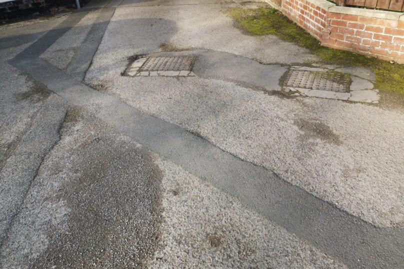
A utility survey team will visit the site; they will have with them all owner-provided utility information (Survey Type D). The goal of this site visit is to identify and locate all manhole/inspection chamber covers, valve covers, utility markers, control and distribution pillars/columns, LV power, street lighting, traffic lights, and historic excavation scar lines.
All features located on site will be recorded using GNSS and total station to enable accurate mapping.
Quality Levels
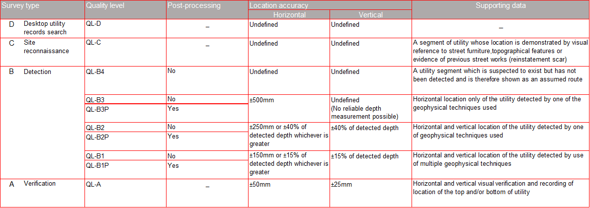
Survey Type C does not include the use of any utility detection equipment, so the highest quality level any utility can be given is QL-C following PAS128 format.
Deliverables
All utility survey data will be presented in a digital model format to clients’ specified requirements and a survey report will be provided which will include a list of utilities within the site area, which utilities, where verified, present by on-site visual inspection, recommendations on how to proceed with further site investigation if it is required and where possible photographic site evidence to support survey findings.