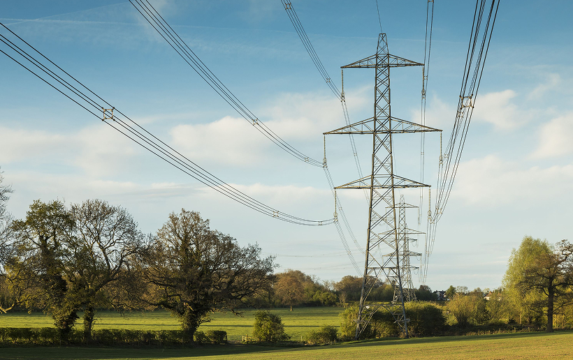
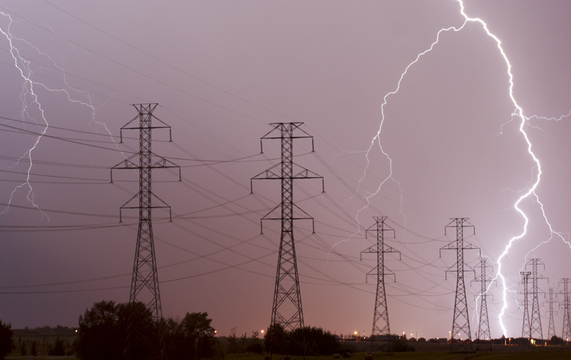
Built on deep industry expertise, our comprehensive service offering covers all aspects of transmission and distribution, powering critical infrastructure with precision and care.
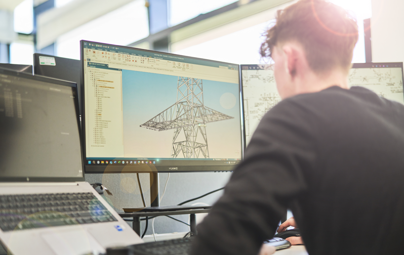
We combine decades of expertise with advanced CAD and GIS technology to support the most demanding engineering projects. Our comprehensive solutions are backed by a team of highly skilled, multidisciplinary CAD and GIS experts.
Whether you require design, survey, inspection or infrastructure planning, we produce a wide range of services to suit the most complex of project requirements whilst ensuring that they adhere to the latest industry standards and specifications.
Cutting-edge CAD technology
We are proficient in a wide range of industry-leading CAD software, including:
SolidEdge
MicroStation
AutoCAD
Optimal
Cyclone
Trimble
Realworks
Cloudworks
PLS CADD
TEKLA
Geographic Information Systems (GIS) technology
We create, manage and analyse data from various sources including maps, satellite imagery and other geospatial data to visualise and understand geographic information and relationships for improved communication, efficiency, management and decision-making.
Our GIS team produces drawings and web maps to support all functions of the business, including:
ESRI ArcGIS
Online Web Maps, Apps and Dashboards
Field Maps
Survey 123
Bespoke applications
Planning Application Plans
Heat Mapping
Corridor routing and site selection
Geospatial analysis
3D modelling
Key features of our service
Line design services
We specialise in designing and analysing electrical transmission infrastructure with true 3D models generated from survey data and structure drawings. Our line design solutions include:
Electrical and wire clearance design up to 400kV
Bespoke wood and steel structure designs for overhead equipment
Interface designs
Downlead and line entry arrangements
Condition assessment diagrams
Vegetation impact assessments
Conductor swing analysis
Foundation and reinforced concrete
Profiling
Our dedicated Overhead Line (OHL) Profiling CAD team creates designs and drawings for use in the OHL, transmission, and distribution sectors. Familiar with all major design codes and conductor systems in the UK, we provide outputs in both Optimal and PLS CADD formats.
Substation design
Providing bespoke substation design solutions, encompassing everything from initial concept through to detailed execution.
Engineering CAD services
Our in-house engineering CAD team provides expertise across multiple domains, including:
Mechanical & Machinery Design
Civil Engineering & R&D Projects
Survey services
Our dedicated Survey team supports projects ranging from local builders to nationwide developers. We produce high-definition scans, plans, sections, elevations, land area assessments, volumetrics, and underground utility tracing (GPR) drawings.
Cable route design
Using GIS and composite mapping, we deliver accurate, data-driven route planning to optimise cable layouts and reduce disruptions.
We use cookies to ensure that we give you the best experience on our website. If you continue to use this site we will assume that you are happy with it. Privacy policyOk