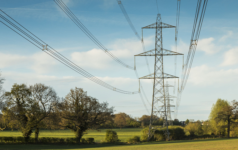
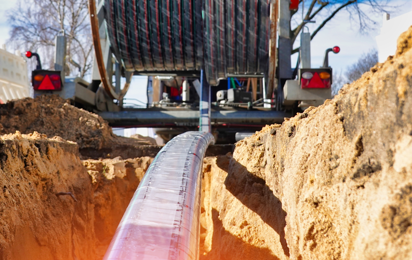
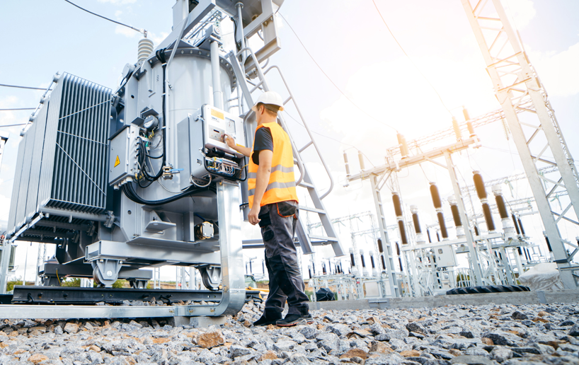
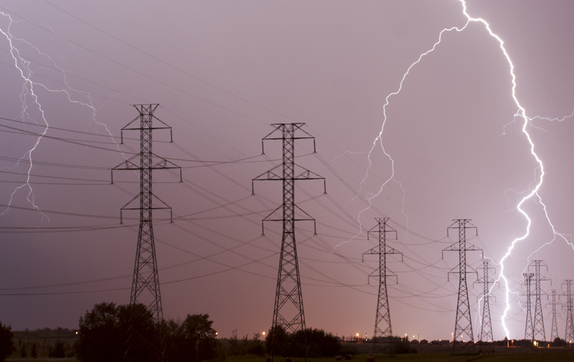
With a focus on innovation and reliability, our turnkey transmission and distribution services are designed to meet the complex needs of modern electrical networks.
We specialise in delivering high-quality ground surveying solutions powered by state-of-the-art technology. Our expertise covers a wide range of survey types, ensuring precise, efficient, and innovative results for every project. We work closely with our clients to fully understand their requirements, delivering tailored solutions that not only meet but exceed expectations.
As industry leaders, we are committed to excellence, constantly refining our techniques, equipment, and workflows to push the boundaries of what’s possible. By combining deep expertise with continuous innovation, we provide the most accurate data in the clearest, most actionable format.
Key features of our service
Laser scanning & mobile mapping
We provide rapid, remote surveys that capture high-definition data from any structure, ensuring precise imagery and point cloud measurements. This is especially useful for complex, hazardous, or difficult-to-access areas. Mobile mapping allows us to scan projects within minutes, providing detailed and accurate data without requiring traffic control or physical entry into drainage systems.
Drone surveys
Our CAA-authorised drone team delivers comprehensive aerial survey solutions tailored to your project needs. We use cutting-edge technologies, including photogrammetry and LiDAR, to produce highly accurate, photorealistic maps and detailed 3D models. From capturing ground details hidden beneath vegetation to inspecting hard-to-reach rooftops, our surveys provide precise data for measurement, analysis, and design. Outputs include Digital Terrain Models, classified point clouds, BIM models, and traditional survey drawings, offering unmatched accuracy, efficiency, and accessibility.
Topographical survey
We conduct topographical surveys for new and existing projects, including overhead lines and general sites. Our CAD team delivers a range of outputs, from high-definition scans to detailed plans, sections, elevations, land area calculations, volumetric analysis, and underground utility tracing using Ground Penetrating Radar (GPR).
Building surveys
We capture accurate data for building sections, elevations, and floor plans in both 2D and 3D formats. Whether for small projects or large-scale developments, our surveys meet a variety of requirements with precision.
GS6 surveys
We provide advice on working near overhead electric power lines and how to work safely around them. Our team can design and create a Safe System of Work and documents to operate machinery / plant within close proximity to overhead electric power lines in accordance with Health and Safety Guidance Notes (GS6) and Energy Networks Association Technical Specifications ENATS 43-8.
We will obtain overhead electric power line conductor heights from the relevant utility company per crossing and provide a report detailing clearance heights and any other safety information.
Our experienced PAS128 Utility surveyors use Ground Penetrating Radar, Electromagnetic Location, and Sonde Tracing to deliver the highest standard of tracing and site marking (including pre-planning and site reconnaissance), even in the most challenging environment.
We use cookies to ensure that we give you the best experience on our website. If you continue to use this site we will assume that you are happy with it. Privacy policyOk